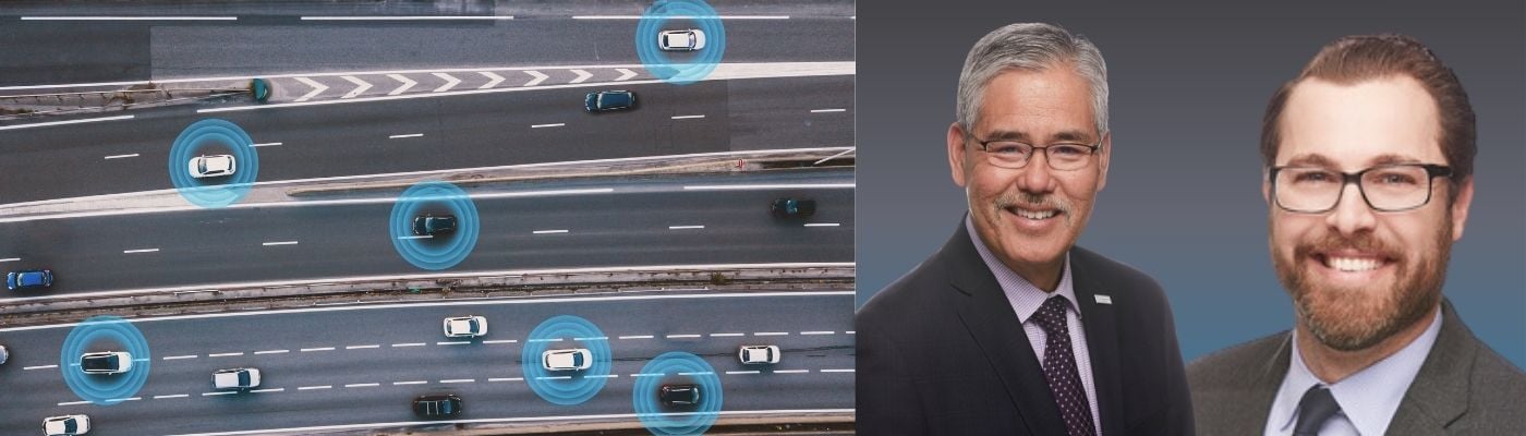
Expert Insights: Randy Iwasaki and Tim Haile delve into data driven solutions in connected and autonomous driving
In the third of our series of articles in which we talk to Intertraffic Amsterdam 2024 Summit Speakers, we discuss the importance of data to connected vehicles (and autonomous pods) with Contra Costa Transportation Authority’s (CCTA) Tim Haile and Randy Iwasaki, former CCTA director and now representing the Advanced Mobility Analytics Group.
‘Data-driven solutions are essential for enhancing the safety, efficiency and sustainability of our transportation network as well as operation of connected and automated vehicles (CAVs) in complex traffic environments’, says the preview to the Data-Driven Solutions in Connected and Autonomous Driving Intertraffic Amsterdam 2024 summit session.
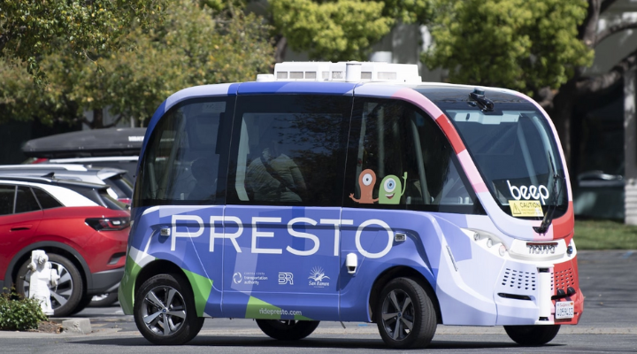
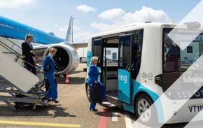
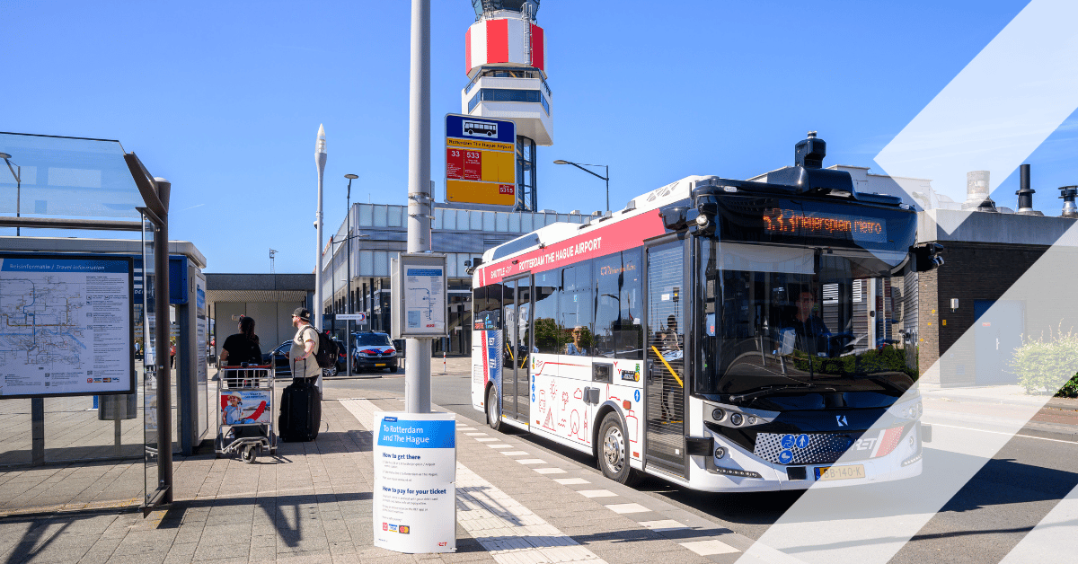
That message has been front and centre of the highly innovative autonomous mobility solutions of northern California’s Contra Costa Transportation Authority (CCTA). It plans, funds, and implements innovative transit programs to improve lives and connect communities with PRESTO, its groundbreaking suite of mobility options that will pave the way for the future of transportation in the San Francisco Bay Area, at the forefront of its admirable efforts. PRESTO offers shared autonomous vehicle services that will soon expand to include a bike sharing scheme and an express bus service with the aim of increasing available transit options for everyone. CCTA’s executive director Tim Haile and his predecessor Randy Iwasaki give Intertraffic some valuable insight into the inner workings of their session.
Intertraffic: How did the idea for this session evolve?
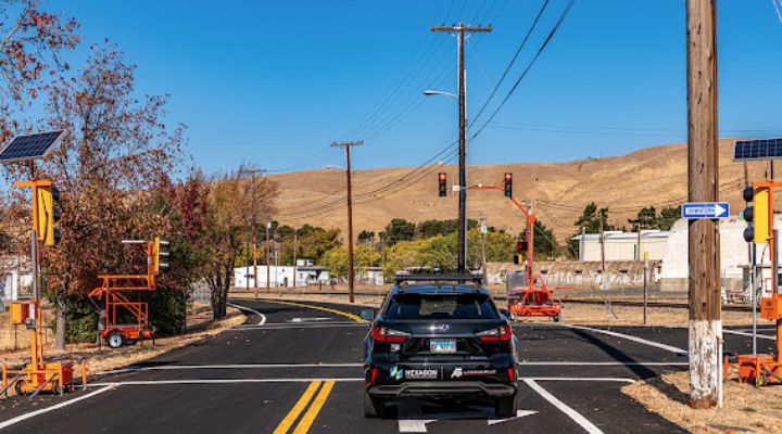
Randy Iwasaki (RI): I was invited to the panel by Ali Mortazavi who was acting as the project manager for intersection and freeway innovative projects for Nissan at the time. At Intertraffic 2022 I took part in a headline panel session about the work we were doing along Interstate 680 and adjacent intersections in Northern California. Nissan were with us and I had signed a contract with Nissan before I left Contra Costa Transportation Authority to do some pretty cool things that hadn't been done before. It was two focus areas: the first was implementing video analytics to provide low latency information not autonomous vehicles to make the right decision.
As you know, intersections are very complex with on-coming traffic, VRUs, parked cars, limited sight distance.The concept was tested in the Netherlands, GoMentum Station, and Nissan Santa Clara, but the rollout is stalled because the change from video to lidar. This requires more testing. The other was platooning but the OEMs decided this isn’t the right approach due to the large number of cars required so they are looking at AI speed control of Level 2, plus connected vehicles dispersed along I-680. This doesn’t require as many vehicles to make a significant difference and will reduce phantom shock waves. They are starting to test various aspects of the project.
My plan in this plenary is to review what I've seen as part of the Transportation Research Board Scan. The members of the Scan are CEOs from State DOTs, County Transportation Authorities, AASHTO, TRB, ITS America, FHWA and the report writer was from WSP. We held many virtual meetings across the US. We met with agencies, companies and universities in the Las Vegas and the Phoenix areas. The group travelled to Germany and also the United Kingdom. I will also highlight one of the companies I work with that has developed an incredible piece of software. I refer to it as an enterprise video operating system or video management system platform on steroids.
My plan in this plenary is to review what I've seen in the area of data across the world and what we’ve done domestically in Las Vegas and the Phoenix area
In terms of the technology, this particular state in the southern part of the United States has 31,000 cameras on this software platform and you can run analytical tools on top of it. So if you want to run video analytics it basically standardises the disparate types of sensors you need for some connected vehicle applications. You can run edge devices very close to the intersections and you can classify and track vehicles through the corridor. It’s going to be a fascinating session, I can assure you!
Intertraffic: It's been a really interesting industry to follow for the last 20 years, but it seems now there is more exciting stuff going on than ever before. What do you think is the most interesting thing that you're currently working on that you will be discussing in the session?
Tim Haile: (TH): Relative to data and autonomous and connected vehicles, I think the most exciting part is that through the automated driving system grant programme we developed three projects. The real intent of these projects was to garner really good quality data to better define safety metrics for autonomous vehicles. The whole idea was to look at what types of data we can get out of these vehicles and then how can we use that data to leverage it for rulemaking with the National Highway Traffic Safety Administration (NHTSA). What we sought to do was develop a near real-time dashboard that would be able to visualise the data coming from these autonomous vehicles that would then be used by NHTSA, as well as USDoT, to really support rulemaking.
The real intent of these projects was to garner really good quality data to better define safety metrics for autonomous vehicles
Intertraffic: Without saying too much (as we want people to attend your session), what stage are those projects at now?
TH: We are now deploying these projects and in particular we've developed this dashboard. We worked really closely with Amazon Web Services and, ironically, Randy was at AWS when we were doing this. We were able to collect this data in near real time out of these vehicles – having to identify the right data and then working and developing data-sharing agreements with these partners to collect that data has been really a real challenge.
Intertraffic: What are the limitations of what you can do with the data? Issues such as privacy are often one of the first subjects to come up in a discussion about autonomous vehicle data.
TH: The types of data that we're trying to get right are, basically, causes of AV failure, crash rates, causes of disengagement and human interaction data. We might be able to get the distance between the AV and another vehicle, but being able to measure that in real time could really give us some great information on near misses, for example. If we’re monitoring the AV’s lidar we can specifically understand how the vehicle is responding to certain situations which means we are able to quantify what it is that the vehicle actually doing.
If we’re monitoring the AV’s Lidar we can specifically understand how the vehicle is responding to certain situations which means we are able to quantify what it is that the vehicle actually doing
Intertraffic: Contra Costa Transportation Authority is synonymous with the GoMentum Station, your 5000-acre automated transit network. Presumably developments there will also form part of your presentation on Tuesday?
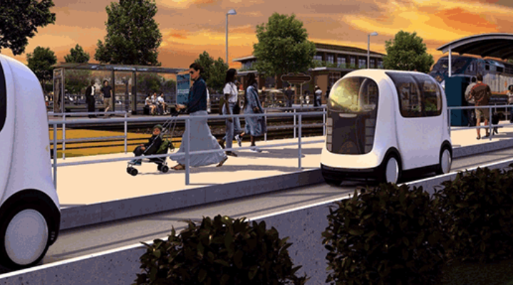
TH: Yes, GoMentum Station is a former naval weapons station, that features 28 miles (45 km) of paved roadway and two 1400-foot (425m) tunnels in eastern Contra Costa County. What’s really exciting about GoMentum Station is the Dynamic Personal Mobile Transit project (DPMT). At the end of last year CCTA and Tri Delta Transit announced a partnership with East County Connection Partners, LLC (ECCP), made up of transportation innovators Glydways and Plenary Americas and Flatiron, the lead construction contractor. DPMT is a multi-city, on-demand transit option designed to meet the diverse mobility needs of Eastern Contra Costa County.
ECCP will help bring the vision of a safe, on-demand, single-party, transportation system into reality with its zero-emission, electric, autonomous, four-person Glydcars that travel in narrow, dedicated elevated or at-grade guideways. They’re around 5ft wide and 7ft (1.5 x 2.1m) long and crucially they fill a gap between our transportation and land use. In eastern Contra Costa County, a lot of our downtown areas were basically planned around the northern waterfront. But then some smart transportation planner decide to put the highway two miles south of there and then also located the BART system (Bay Area Rapid Transit) two miles south of there. We’re using this network to close that gap and connect the land use to the transportation system. It’s a really cool project.
The Data-Driven Solutions In Connected & Autonomous Driving session takes place on Tuesday 16 April at 10:30 in Intertraffic Summit Theatre 3.
.png?h=628&iar=0&w=1200)
Get up to speed on the mobility industry - our newsletter straight to your inbox!