.png?h=400&iar=0&w=1400)
Tolling 2.0
Pragmatism on the roads: How 2025 turned satellite charging and road pricing software into the Internet of Mobility
In 2025 the global tolling industry has felt like an Internet of mobility: payment logic has migrated away from human-staffed booths where drivers hand over coins or touch payment cards onto a just-reachable reader and into devices, clouds, and - increasingly - the sky.
Two trends define the year: the wider deployment of GNSS/satellite-based tolling for distance and road-use charging, and the acceleration of “digital tolling” - cloud-native, app-driven, and OEM-integrated systems that reduce dependence on dedicated roadside hardware. Together they promise fairer, more flexible road charging, but also raise questions about privacy, accuracy and interoperability.
Why satellites now make sense
Satellite (GNSS) tolling is not a new concept, but 2025 has seen it move from selective pilots into national-scale rollouts and robust proofs-of-concept. Denmark has implemented a new nationwide GNSS-based tolling system, and Czechia made its innovative hybrid GNSS/DSRC system more widely available to EETS providers during the course of this year.
''2025 has seen it move from selective pilots into national-scale rollouts and robust proofs-of-concept''
GNSS lets authorities charge by distance, time of day, road class or even emissions band, without deploying expensive physical infrastructure along every kilometre of road. The tech stack is simple in theory: a vehicle-mounted GNSS module logs location/time data, edge or cloud logic maps that trace onto toll rules, and settlement happens via a back-end operator. For long-haul freight and national road networks, that multiplies the policy options - per-km charges that reflect real congestion or wear and tear rather than ‘blunt’ point charges.
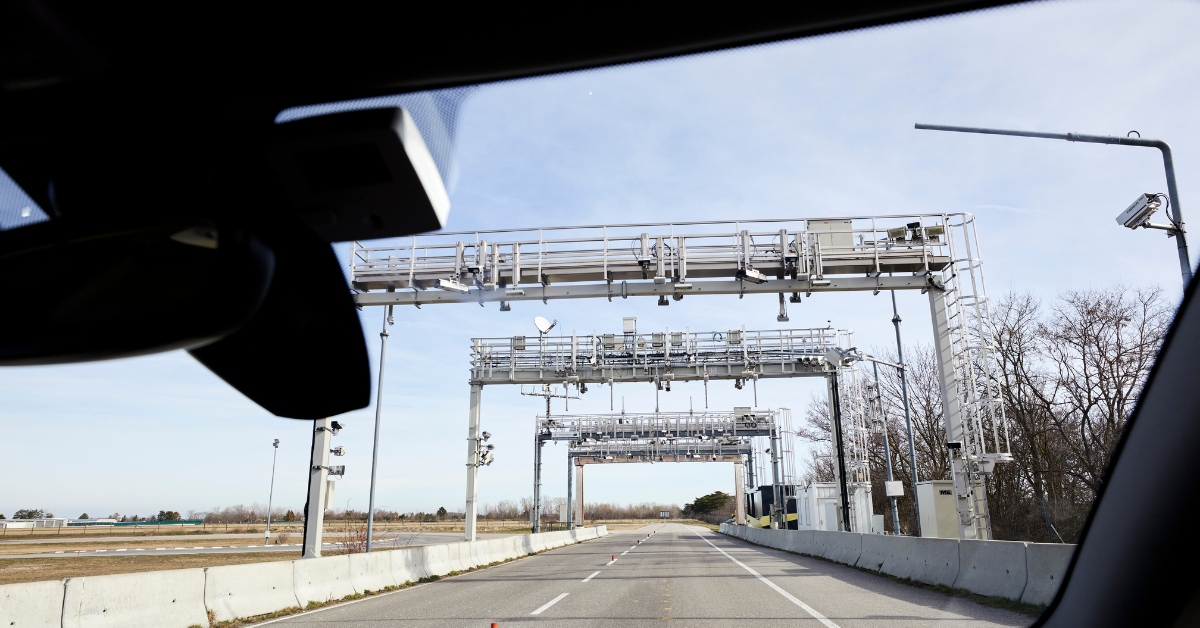
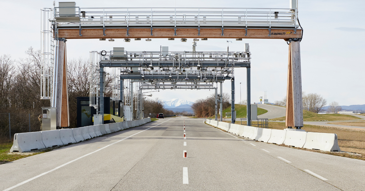
Practically, 2025’s headline projects added legitimacy. Kapsch TrafficCom announced the go-live of its satellite-capable tolling stack supporting Norway’s nationwide network, a meaningful step because Norway’s rugged, widely dispersed roads and mixed tech stack make it a demanding proving ground for GNSS methods. The Kapsch deployment emphasised hybrid approaches (GNSS combined with image recognition and roadside detection) to maximise coverage and accuracy across urban and rural areas.
Another notable example: SkyToll’s GNSS pilot in India, which got underway in 2024, validated satellite tolling for sprawling toll networks where physical plazas are costly to operate. That pilot highlighted practical challenges in the shape of localised GNSS reception, handling urban canyon errors, and ensuring robust tamper-resistant OBUs (on-board units) or telematics hooks for third-party fleets. Still, it underlined how GNSS scales where ‘old fashioned’ gantries and booths do not. SkyToll have also spent much of this year building portals for a new electronic tolling system in Croatia.
''SkyToll’s GNSS pilot in India validated satellite tolling for sprawling toll networks where physical plazas are costly to operate''
Digital tolling: moving payments into software and phones
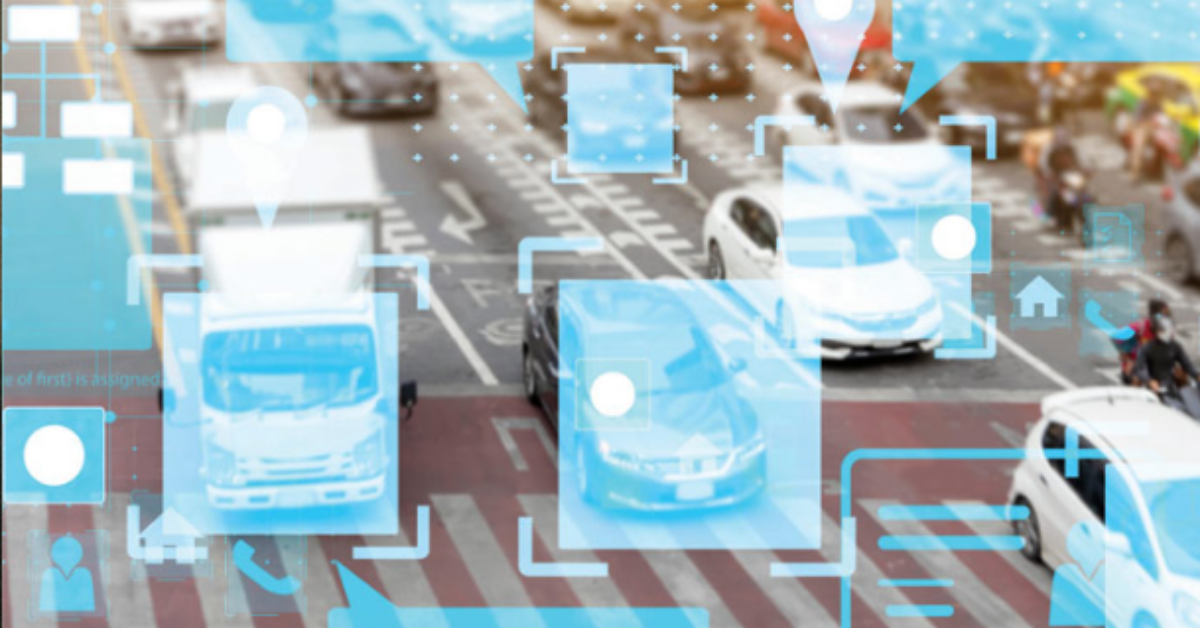
Parallel to rising GNSS use, 2025 pushed “digital tolling” further into the mainstream consciousness: that umbrella term covers everything from cloud-native back-ends and tokenised payments to operator apps, in-vehicle connectivity (OEM telematics), and image-based license plate recognition with automated invoicing.
A practical consequence is that motorists can now use a single digital account across different tolling regimes, paying by app, subscription, or via embedded vehicle services rather than juggling multiple OBUs or national accounts. Market research in 2025 emphasised this shift: the ETC market continued solid growth as vendors add 4G/5G connectivity, API-first back-ends, and EETS (European Electronic Toll Service) compatibility.
Real projects illustrate the variety. In Europe, vendors and fleet-service providers have been issuing updated 4G-capable toll boxes and OEM integrations in response to the mobile network evolution, enabling devices that can fall back from roadside DSRC to cellular GNSS reporting when needed. DKV and similar mobility providers introduced “future-proof” 4G units during 2025 to support ongoing shutdowns of legacy cellular bands and to keep cross-border fleets compliant without new physical stickers or country-specific OBUs.
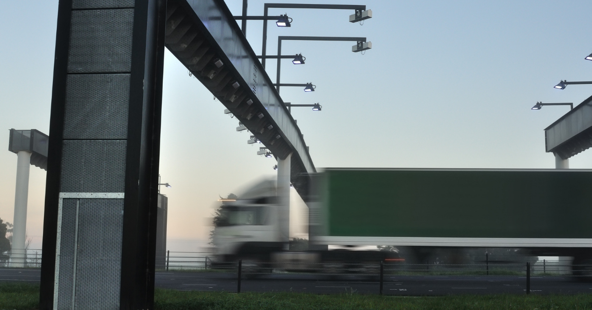
Meanwhile, free-flow (open-road) digital tolling projects rolled out with more emphasis on software-first reconciliation. Kapsch, once again, also reported deployments in Latin America where camera + AI lanes replace booths, and the back-end reconciles images, OEM telematics and GNSS traces to reach very high automation rates - lowering operating cost and queuing simultaneously.
''DKV and similar mobility providers introduced “future-proof” 4G units during 2025 to support ongoing shutdowns of legacy cellular bands and to keep cross-border fleets compliant''
Hybrid approaches: pragmatic, and necessary
A recurring theme in 2025 is hybridisation. Pure GNSS systems solve some problems but introduce others (GNSS errors, spoofing risk, and the need for reliable OBU provisioning). Pure camera-or-gantry systems are expensive to scale and brittle for cross-border continuity. As a result, the most successful rollouts are often mixed: GNSS for per-km national charging; ANPR (automatic number plate recognition) cameras for enforcement and gap-filling; and OEM telematics or secure OBUs for authentication and tamper resistance. The European Space Agency ecosystem and vendors are actively promoting GNSS literacy among toll operators to make these hybrids interoperable and audit-ready.
However, those technical gains bring policy trade-offs. Distance-based charging is inherently location-data-intensive, so regulators in 2025 focused on data minimisation, pseudonymisation and short retention windows, rules that perform the same crucial task - shaping technical architecture.

''Distance-based charging is inherently location-data-intensive, so regulators in 2025 focused on data minimisation, pseudonymisation and short retention windows, rules that perform the same crucial task - shaping technical architecture''
Interoperability remains a thorn, though: the dream of a single pan-European or pan-national account is on the agenda, but operational differences in vehicle classes, emissions rules and enforcement mean software still has to handle a lot of local complexity. Market research also shows that public acceptability improves when tolling revenues are transparently tied to road maintenance or climate goals rather than general taxation, a political design lesson that affects tech choices.
What 2026 might inherit
If 2025 was the year of pragmatic pilots and modular deployments, 2026 will likely see refinement: more robust anti-spoofing for GNSS, tighter OEM-to-operator APIs, and broader rollouts of cloud-native clearing houses that let motorists and fleets use fewer devices and accounts. Expect the market to consolidate around vendors that can provide hybrid stacks - GNSS ‘locationing,’ ANPR image processing, secure OBUs, and flexible back-end billing - plus the ability to certify privacy-preserving mode-switching for sensitive areas.
If anything, 2025 has proved that road charging is becoming a software issue as much as a hardware one. Satellite tolling extended the toolbox for national distance charging, while digital tolling architectures replaced physical complexity with cloud services, OEM hooks and smarter enforcement. The result is not a single, winning technology but an emerging orchestration layer that stitches GNSS, cameras, cellular connectivity and payments into a more flexible, scalable ecosystem.
For operators and drivers alike, the practical benefit is clear: fewer queues, smarter prices, and road charging that can finally reflect what matters - where, when and what type of vehicle you are driving.
Share your story
Do you have an innovation, research results or an other interesting topic you would like to share with the professionals in the infrastructure, traffic management, safety, smart mobility and parking industry? The Intertraffic website and social media channels are a great platform to showcase your stories!
Please contact our Sr Brand Marketing Manager Carola Jansen-Young.
Are you an Intertraffic exhibitor?
Make sure you add your latest press releases to your Company Profile in the Exhibitor Portal for free exposure.


Get up to speed on the mobility industry - our newsletter straight to your inbox!