
Above the Jam: How drones could rewrite the rules of Urban Traffic Management
Cities’ streets have long been a battleground of honking, delayed buses, baffled commuters and angry cyclists. Now, small unmanned aircraft are starting to offer a new vantage points, turning the sky into a dynamic sensor network that can spot incidents, report accidents, ease congestion and operate beyond a single pilot’s sightline. The technology is already moving from pilots (the other sort) and demos into regulated trials and routine operations - and the implications for how we move through cities are surprisingly big.
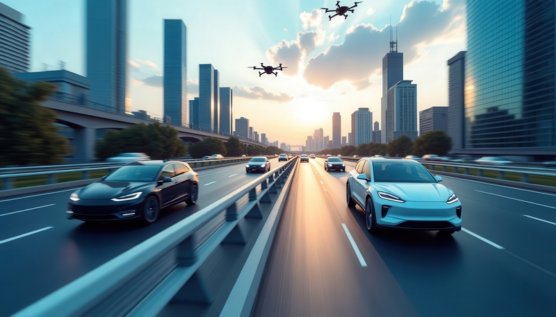
Integrated future: aerial data fused with connected vehicles and smart highways.
One of the clearest wins for drones is in incident detection. A camera-equipped drone launched over a motorway or at a busy junction can spot a collision, a stalled vehicle or vehicle-pedestrian conflict in seconds - significantly more quickly than many traditional sensors or emergency service personnel. Feed that live video into automated image-analysis models and you get immediate flags for “crash,” “fire” or “pedestrian on highway,” enabling traffic control centres to dispatch responders and update variable-message signs or navigation feeds in near real-time.
Beyond raw speed, drones can capture multi-angle footage that helps determine severity and lane-blocking status - data that reduces guesswork for the emergency services and accelerates the clearance process. Municipal pilots and private providers increasingly pair drones with AI analytics and existing traffic-management systems so aerial feeds become another transport-data layer rather than a standalone tool.
Beyond raw speed, drones can capture multi-angle footage that helps determine severity and lane-blocking status - data that reduces guesswork for the emergency services and accelerates the clearance process
Automating the paperwork: smarter incident reporting
For emergency responders and insurers, early, reliable evidence matters. Drones can automatically record time-stamped, geolocated video and stills, streamlining incident (experts are no longer referring to them as accidents) reporting and reconstructing events without tying up officers. In some trials, drone imagery is already used to generate rapid incident reports that feed into collision databases and insurance workflows, reducing on-scene time and improving the quality of post-incident analysis.
Crucially, emerging traffic-management frameworks are building standards for how drone-derived data is transmitted, stored and authenticated, which helps make aerial evidence admissible and operationally useful rather than a chaotic flood of video.
Emerging traffic-management frameworks are building standards for how drone-derived data is transmitted, stored and authenticated, which helps make aerial evidence admissible and operationally useful rather than a chaotic flood of video
Congestion management with airborne eyes
Drones don’t just respond to events; they can help prevent them happening altogether. Periodic or continuous aerial sweeps reveal queue lengths, merge turbulence and illegal stoppages that ground loop detectors would otherwise miss. That data can be fed into adaptive traffic-signal timing, dynamic lane assignments and proactive rerouting of public transport or logistics vehicles - nudging flow and reducing the formation of long, stop-and-go waves.
Cities with integrated operations centres can use drones to verify and refine predictive traffic models in real time. In developing cities and major events, temporary drone deployments are a cost-effective way to achieve full-coverage traffic insights without installing expensive permanent sensors.
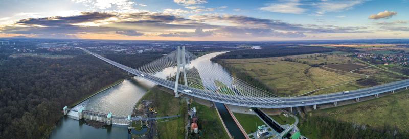
Whole-network view: aerial panoramas reveal bottlenecks and queue propagation.
Going beyond line of sight: persistent coverage and scale
To be a day-in, day-out traffic-management tool, drones must fly beyond-visual-line-of-sight (BVLOS) and operate in coordinated fleets. That’s where traffic-management ecosystems, U-space in Europe and UTM in the US, come into play: they provide the “air traffic control” for low-altitude drones, handling geo-fencing and information exchange so maultiple drones can fly safely and predictably. NASA’s UTM program and national regulators have been running field demonstrations to validate those concepts. Regulators are responding. The UK Civil Aviation Authority has published a BVLOS roadmap as it prepares for routine BVLOS flights, and the FAA has documented a rapid rise in BVLOS approvals as it moves toward a more scalable regulatory framework, both necessary steps for continuous urban traffic missions. These policy shifts mean drones can move from one-off sorties to scheduled patrols and on-demand responses across whole cities.
To be a day-in, day-out traffic-management tool, drones must fly beyond-visual-line-of-sight (BVLOS) and operate in coordinated fleets. That’s where traffic-management ecosystems come into play
Local authorities in places such as Vijayawada, India, have launched drone fleets specifically to monitor congestion and support traffic police - a perfect example of aerial assets being embedded into everyday traffic operations. Meanwhile, large European U-space projects are proving separation-management services that allow many drones to operate simultaneously without conflicts.
Hurdles: privacy, safety and system integration
None of this is frictionless, of course. Privacy and civil-liberties concerns about persistent aerial surveillance require clear rules about retention, access and uses of imagery. Technically, robust detect-and-avoid systems, secure communications and resilient command-and-control links are prerequisites for safe BVLOS urban operations. Interoperability with legacy traffic-management platforms and the challenge of cyber-resilient data pipelines also loom large.
Finally, public trust is earned not assumed. Transparent policies, visible benefits and independent oversight will be essential as cities scale up drone-based services.
Public trust is earned not assumed. Transparent policies, visible benefits and independent oversight will be essential as cities scale up drone-based services
Used responsibly, drones can turn fragmented, delayed situational awareness into a fast, layered, resilient view of a city’s moving parts. Faster incident detection shortens clearance times; automated reporting reduces administrative load; targeted aerial monitoring helps smooth congestion without costly civil works; and BVLOS operations unlock persistent, city-wide capabilities. With coordinated U-space services, cities can begin to treat drones as another urban utility that complements existing infrastructure, hardware and software.
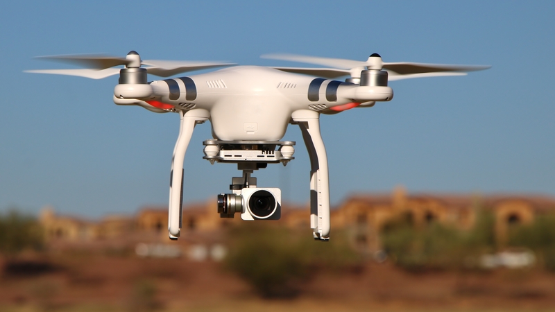
BVLOS-ready platforms pair stabilised optics with telemetry and remote ID.
The picture isn’t one of drones replacing current systems but of adding a high-resolution, on-demand perspective from above - the kind of perspective that, once ubiquitous, might make the daily commute a little less taxing.
Share your story
Do you have an innovation, research results or an other interesting topic you would like to share with the professionals in the infrastructure, traffic management, safety, smart mobility and parking industry? The Intertraffic website and social media channels are a great platform to showcase your stories!
Please contact our Sr Brand Marketing Manager Carola Jansen-Young.
Are you an Intertraffic exhibitor?
Make sure you add your latest press releases to your Company Profile in the Exhibitor Portal for free exposure.


Get up to speed on the mobility industry - our newsletter straight to your inbox!